UN
36 Torbay Road
£ 895,000
Description
We don't have a Description for this property.
- Bedrooms
- 4
- Bathrooms
- 0
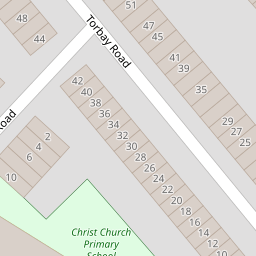
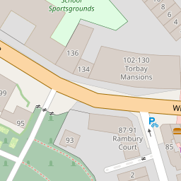
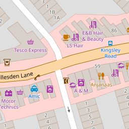

Leaflet © OpenStreetMap contributors
The heatmap indicates the level of crime in the area. The color of the heatmap indicates the crime severity and recency.
Metrics Year-on-Year
- Average area value
- 724,034.00 £Increased by 42.40 %
- Average area rental value
- 2,076.00 £/moIncreased by 10.19 %
- Est rental Yield
- 3.44 %Decreased by 22.70 %
- Crime Rate
- 5.00 %Unchanged by 0.00 %
from 508,459.00 £
from 1,884.00 £/mo
from 4.45 %
from 5.00 %
Nearby Schools
| Name | Type | Ofsted | Distance |
|---|---|---|---|
| Christ Church Cofe Primary School | Voluntary Aided School | Good | 0.09 KM |
| Islamia School For Girls' | Other Independent School | Outstanding | 0.51 KM |
| Islamia Primary School | Voluntary Aided School | Good | 0.51 KM |
| Salusbury Primary School | Community School | Good | 0.53 KM |
| Al-Zahra School | Other Independent School | 0.65 KM |
Images
Nearby Streets
| Name | Average Price | Average Sqft | Distance |
|---|---|---|---|
| Gladstone Mews | £ 0 | 0 | 0.00 KM |
| Aldershot Road | £ 0 | 0 | 0.00 KM |
| Carlisle Road | £ 0 | 0 | 0.00 KM |
| Dudley Road | £ 2,150,000 | 0 | 0.00 KM |
| Claremont Road | £ 468,333 | 0 | 0.00 KM |
Nearby Transport
| Name | NLC | TLC | Distance |
|---|---|---|---|
| Brondesbury | 1437 | BSY | 0.45 KM |
| Brondesbury Park | 1438 | BSP | 0.70 KM |
| Queens Park (London) | 1419 | QPW | 0.84 KM |
| Kilburn High Road | 1415 | KBN | 1.36 KM |
| West Hampstead Thameslink | 1525 | WHP | 1.54 KM |
Nearby Listings
| Address | Price | Type | Score | Distance |
|---|---|---|---|---|
| Torbay Road, Brondesbury | £ 1,200,000 | BUY | 7 / 10 | 0.00 KM |
| Torbay Road, Queens Park, NW6 | £ 1,500,000 | BUY | 6 / 10 | 0.01 KM |
| Willesden Lane, London, NW6 | £ 580,000 | BUY | 6 / 10 | 0.06 KM |
| Willesden Lane, Queen's Park, London, NW6 | £ 585,000 | BUY | Unknown | 0.06 KM |
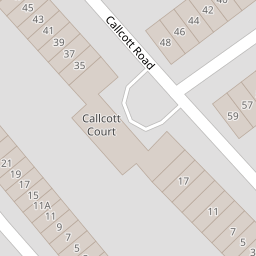
| Callcott Road, Queen's Park, London, NW6 | £ 475,000 | BUY | 6 / 10 | 0.07 KM |
Nearby Properties
| Address | Price | Distance |
|---|---|---|
| 2 Torbay Road | £ 156,000 | 0.00 KM |
| 14 Torbay Road | £ 695,000 | 0.00 KM |
| 20 Torbay Road | £ 899,500 | 0.00 KM |
| 10 Torbay Road | £ 1,230,000 | 0.00 KM |
| 36 Torbay Road | £ 895,000 | 0.00 KM |